- Home
- News
-
Weather Articles
-
Horoscope
- Sweepstakes
- Deal of The Day
Rising seas are a much more significant danger than scientists estimated

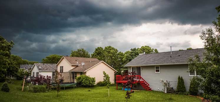
Overestimating elevations in coastal cities can lead to potentially disastrous world view.
Previous estimates of global coastal elevations were based on NASA's Shuttle Radar Topography Mission, or SRTM. It worked by creating a global topographic map from satellite images and radar data. Elevation measurements were made by bouncing radar signals off Earth's surface. Unfortunately, that led to a few factual inaccuracies.
Reports state that even if global warming can be kept to between 1.50-2 degrees Celsius above pre-industrial levels, rising seas would still flood the homes and communities of close to 360 million people.
Fatal errors
This news comes from the scientific community's efforts to improve NASA's satellite elevation data which doesn't take into account how many people could be living in those coastal areas by 2100. Another drawback of this method of measurement seems to be that satellites often mistake rooftops and forests as the ground. This could be misleading when it comes to skyscraper-packed cities like New York and Shanghai that can look like they present a low risk of flooding.
These errors -overestimated by up to 5 to 10 meters in some places - can have significant implications. Thousands of lives, property and even the world's economy at large could suffer in the process.
A possible solution
Some researchers are trying to rectify these erroneous calculations with trained Artificial Intelligence. The neural network which consists of a computer algorithm meant to mimic how the brain processes information uses various sets of data such as more accurate maps of elevation recorded by planes using laser lights has shown some promise. This newer model was able to predict and plug the gaps of the older data. It was also able to correct some of the miscalculations caused by high rises and trees.
What this means for us
The difference between the old and new results is staggering even though the model doesn't account for sea defences and future populations. The latest data still shows close to a quarter of a million people versus the earlier 65 million living in places that are well below annual flood levels.
If left unchecked greenhouse gases and fossil fuel emissions will continue to increase, and the Polar regions will suffer more rapid ice melt. That could make that number leap from 250 million to almost 630 million by the year 2100.
While the system is still seemingly a work in progress, the cities at the most risk continue to be most of Asia, including close to 87 million people in China and 50 million in Bangladesh. These were shocking previously estimated at 26 million and 5 million respectively.
Nevertheless, there will always be things we can't account for. Mass migration to higher ground, better preparedness, more sophisticated weather bearing infrastructure could make all these numbers obsolete. However, what this current data should prove useful for is convincing leaders and citizens that risk may be even worse than currently forecasted. The future for those living in low-lying or coastal areas looks far more ominous that ever thought possible.